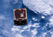
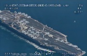
The stations, connected to China’s land-based ship automatic identification system (AIS), are installed at lighthouses located on North Reef and Bombay Reef in the Paracel Islands, which are also claimed by Vietnam and Taipei, South China Morning Post reported.
They use the BeiDou satellite network – completed in 2020 as a rival to the US global positioning system (GPS) – to locate the vessels and transmit signals, state broadcaster CCTV reported on Tuesday.
China’s maritime administration requires all ships to have an AIS transponder and to keep the signal on at all times within its jurisdiction so that the authorities and other ships can identify and track vessels.
The two ground stations began operating on Friday and “solve the problem of a blind spot in the country’s shore-based ship AIS in the waters around the Paracels”, the CCTV report said, citing the Maritime Safety Administration.
The report said the stations would “serve as strong support” to monitor ships in the area, for “ecological protection of the islands and reefs of Sansha and to provide safer and more reliable navigational guidance for ships in the South China Sea”.
Sansha is the name of the municipality that Beijing established in 2012 to govern most of the South China Sea – a vast area it claims within what is known as the “nine-dash line” that includes the Paracel and Spratly Islands, as well as Macclesfield Bank.
The Philippines, Vietnam, Malaysia, Brunei, and Taipei all have overlapping claims to parts of the resource-rich South China Sea, one of the busiest waterways in the world.
RHM/PR


Your Comment