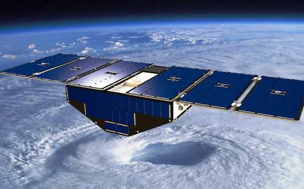
Iranian and European companies signed a Memorandum of Understanding (MoU) to jointly produce remote sensing satellite with high resolution imaging.
The agreement was signed between Iran's Sahfa Mahvareh Company and a creditable European firm on the sidelines of the MAKS-2015 Aerospace Exhibition in Russia late August.
“Based on the agreement, the remote sensing satellite will be jointly designed and built and Sahfa Mahvareh Company will take its control after being launched into the space,” said Salari adding that, “the MoU should be implemented within two years.”
Remote sensing usually refers to the technology of acquiring information about the earth's surface (land and ocean) and atmosphere using sensors onboard airborne (aircraft, balloons) or spaceborne (satellites, space shuttles) platforms.
Salari further numerated various applications of this remote sensing satellite including, oil and gas exploration, forest monitoring, crisis management, border control, environment and spotting water resources hence covering a wide range of needs for non-military purposes.
Iran has taken long strides in recent years to develop its space industry and to build different types of satellites and explorers.
In February, Iran’s domestically-made National Fajr (Dawn) Satellite was launched into orbit and started transmitting data to its stations on earth.
The satellite made its first contact with its ground stations hours after it was put into the orbit
Fajr satellite is technically characterized by an orbit which could promote from 250 to 450 kilometers through a thruster or an engine.
Equipped with GPS navigation system, Fajr, weighing 52 kilos, is the fourth Iranian-made satellite which was put into orbit after three others between 2009 and 2012.
After Iran launched its first locally-built satellite, Omid (Hope), in 2009, it put two other satellites including, Rasad (Observation), and Navid-e Elm-o Sanat (Harbinger of Science and Industry) into space.
HA/2907990




















Your Comment